Seafloor Mapping

Olympic Coast regularly collaborates with NOAA’s Office of Coast Survey and other partners to acquire high-resolution mapping data that describe physical aspects of the seafloor (e.g., water depth, topographic complexity, and substrate composition), and contribute to the creation of habitat maps, which integrate multiple sources of information in an effort to detail the location and extent of seafloor habitats.

Physical Mapping
https://olympiccoast.noaa.gov/library/gis/seahabmap/arc-gis-map.mpk (72Mb mpk)
More recently, staff have focused on seafloor mapping coordination and prioritization efforts, partnering with NOAA, Ocean Exploration Trust, private companies, and other “ships of opportunity” that are willing and able to acquire high quality new data and information about the seafloor in the sanctuary.
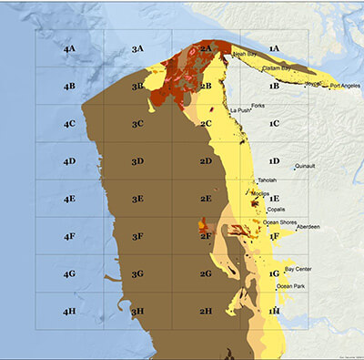
Habitat Mapping
High resolution physical maps of the seafloor are an important ingredient for habitat maps, which also work to integrate and represent other information about seafloor ecosystems and the communities they support.
Olympic Coast National Marine Sanctuary continues to support the Habitat Framework, which applies NOAA’s Coastal and Marine Ecological Classification Standard to marine habitats on the seafloor in and around the sanctuary. Partners at the Northwest Indian Fisheries Commission continue to build on the substrate and geoform layers that were released in 2016, adding additional information about living resources and habitats.
For more information on a specific mapping project or to request a copy of a report, email us at olympiccoast@noaa.gov