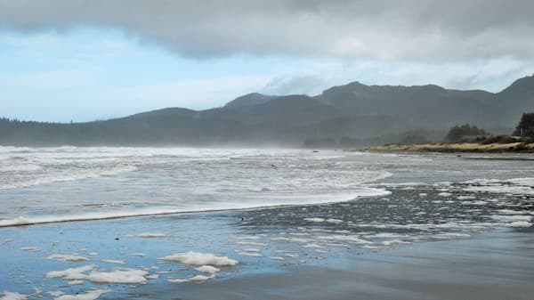
Featured Places
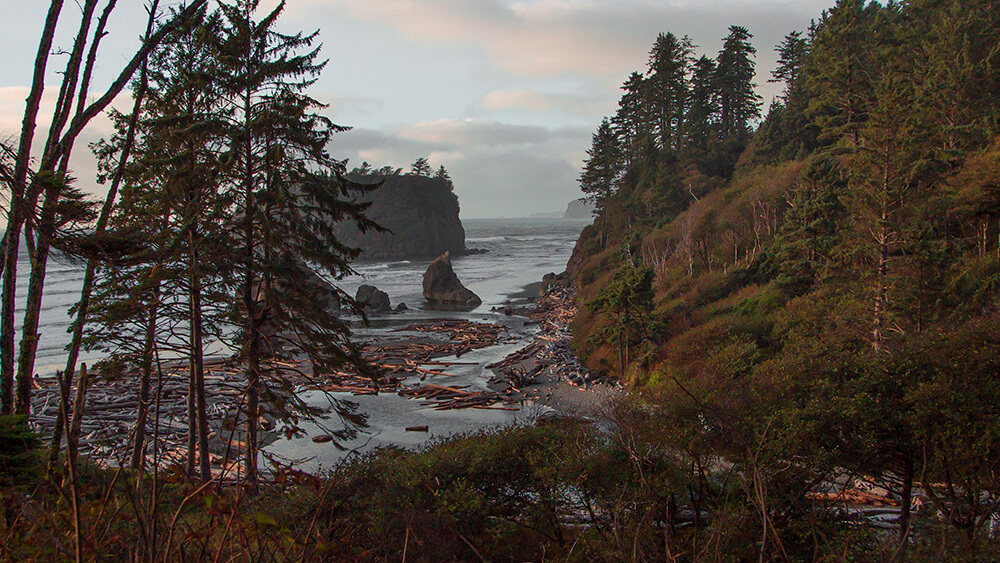
Olympic National Park
Olympic National Park, one of America’s "crown jewel" national parks, offers everything from mountaintops to ocean beaches. Millions of people visit each year to enjoy activities ranging from boating and fishing to backpacking and night sky programs.
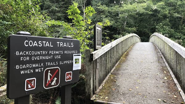
Washington State Parks
Washington State Parks manages numerous state parks with access to the ocean and lowlands on the Olympic Peninsula. Find out information about activities, programs, permits, reservations, and more.
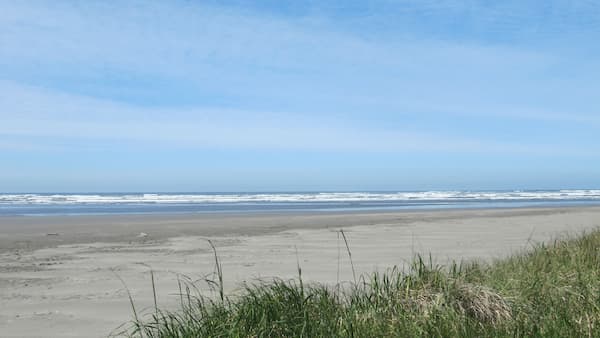
Washington Maritime National Wildlife Refuge Complex
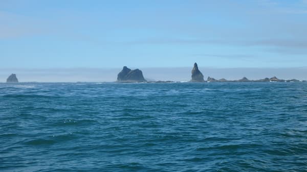
U.S Fish and Wildlife manages the Washington Maritime National Wildlife Refuge Complex, including Flattery Rocks, Quillayute Needles, and Copalis national wildlife refuges. The rocks and islands along Washington's outer coast provide vital habitat for nesting and migrating bird populations. These are home to some of the country's largest seabird breeding populations. Marine mammals feed in the waters surrounding the islands and rest on reefs and rocks.
Olympic National Forest
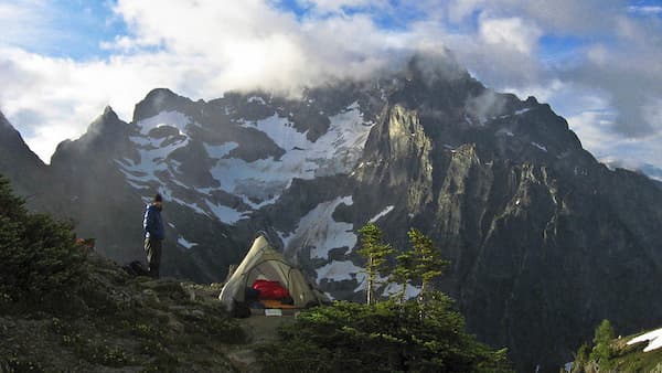
Olympic National Forest offers an unique opportunity to hike a mountain for great 360 degree views, explore the only temperate rainforest in the lower 48 states, and camp right along one of the many pristine bodies of water.
Maritime Washington National Heritage Area
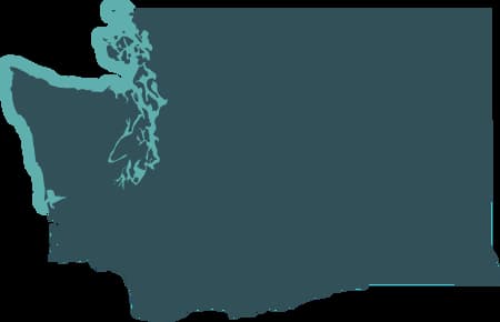
Spanning 3,000 miles of Washington state’s saltwater shoreline, the new Maritime Washington National Heritage Area recognizes our state’s unique and diverse maritime cultures. Learn more about the natural, cultural, and historic resources of this important landscape.
The Whale Trail
The Whale Trail marks the best wildlife viewing options from shore, with over 100 sights and signs hugging the Pacific coast from British Columbia to Southern California, including Shi Shi Beach, La Push, Destruction Island viewpoint, and Kalaloch beaches.

Olympic Peninsula Webcams
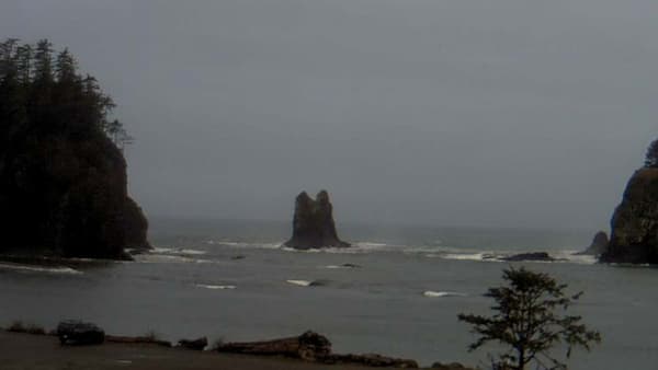
Set in the northwest corner of the Lower 48 States, the Olympic Peninsula is renowned for its remote beaches and spectacular scenery—whether in the mountains or along the coast. Enjoy webcams on the Olympic Peninsula for a glimpse of the beauty, but plan a visit in person if you want the full experience!
Coastal Tribal Communities
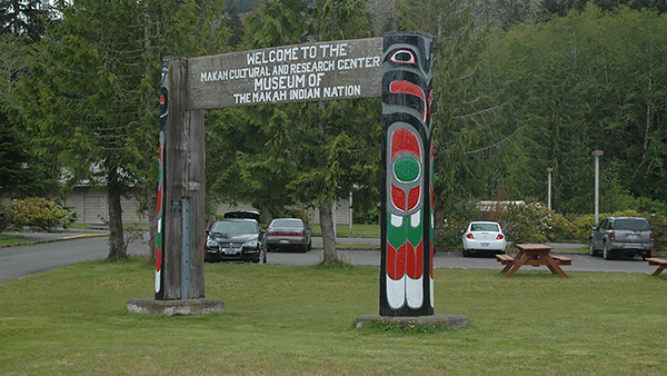
Learn about culture, traditions, and how Native American tribes manage their treaty-protected natural resources first hand by visiting the communities of Neah Bay, La Push, Hoh, and Taholah. Before you go, visit the websites below to get information regarding access areas, amenities, and services available to visitors.
Makah Indian Reservation (Neah Bay)
Quileute Indian Reservation(La Push)
Hoh Indian Reservation(Hoh)
Quinault Indian Reservation(Taholah)
Olympic Coast History and Culture
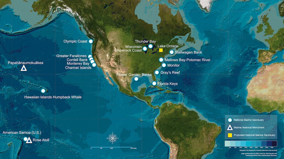
Maps of Olympic Coast National Marine Sanctuary
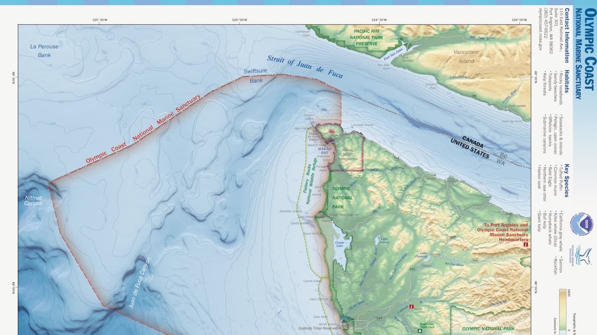
Olympic Coast National Marine Sanctuary is located in Washington state's northwest corner, where the Strait of Juan de Fuca meets the Pacific Ocean. One hundred thirty-five miles of coastline form the landward boundary for the sanctuary.
